NASA
NASA Science
Mars Exploration Program
Skip Navigation
menu
Images
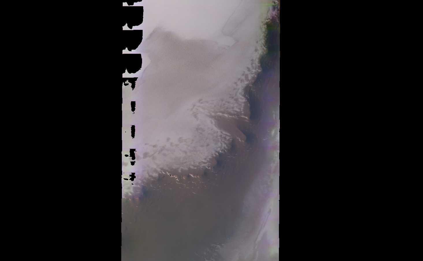
Planum Boreum crater
March 03, 2003
Planum Boreum crater
Credits
NASA/JPL-Caltech/ASU
ENLARGE
[51, 179]
Related
Download a PDF of the Mars as Art Booklet.
Mars as Art (2013)
This image from NASA's 2001 Mars Odyssey spacecraft shows part of the caldera floor of Arsia Mons. Arsia Mons is the southernmost of the Tharsis volcanoes. It is 270 miles in diameter, almost 12 mi...
Investigating Mars: Arsia Mons
When the Mars Exploration Rover, Opportunity, landed on Meridiani Planum in January 2004, it quickly found what it had been sent from Earth to find: evidence of liquid water in the Martian past.
Meridiani Planum
Artist’s concept of Comet Siding Spring approaching Mars, shown with NASA’s orbiters preparing to make science observations of this unique encounter.
NASA's Mars Orbiters Maneuvers as Comet Siding Spring Approaching Mars
This image is located near the boundary between Syrtis Major and Isidis Planitia. The top of the image shows rough material that has eroded away from the lower portion of the image, revealing an un...
Erosion and what it Reveals
Stages in the seasonal disappearance of surface ice from the ground around the Phoenix Mars Lander are visible in these images taken on Feb. 8, 2010, (left) and Feb. 25, 2010, during springtime on ...
Ice Around Phoenix Lander Continues to Lessen in Spring
NASA's NEOWISE mission detected comet C/2013 A1 Siding Spring on July 28, 2014, less than three months before this comet's close flyby of Mars on Oct. 19. This merging of multiple images presents t...
NEOWISE Spies Comet C/2013 A1 Siding Spring a Second Time
Snow falls and ice and frost form on Mars, too. NASA's spacecraft on and orbiting the Red Planet reveal the similarities to and differences from how we experience winter on Earth.
Mars Report: Winter Wonderland on Mars
NASA is advancing the Journey to Mars by starting the conversation about where humans may one day land on the Red Planet.
Mars Exploration Zone Layout Considerations
These are two views of the same observation of the Martian moon Phobos taken in both infrared and visible light by NASA's 2001 Mars Odyssey orbiter using its THEMIS camera. The image was taken on A...
Phobos: Comparing Infrared and Visible Light Views
A small section of Dao Vallis in shown in this VIS image. Dao Vallis is a major channel that drains into Hellas Planitia
Dao Valles
This region of Terra Sabaea contains areas with high densities of small craters.
Lot of Craters in Terra Sabaea
Bacolor Crater is a magnificent impact feature about 20 kilometers (12 miles) wide.
Mars Odyssey All Stars: Bacolor Crater
A lunar eclipse, a solar eclipse and Mars has a close encounter with a comet.
What's Up for October?
This movie shows three views of the Martian moon Phobos as viewed in visible light by NASA's 2001 Mars Odyssey orbiter. The apparent motion is due to movement by Odyssey's infrared camera, Thermal ...
Odyssey's Three Views of Phobos in Visible Light
This lunar-like scene occurs along the southeastern rim of the Isidis Planitia basin. The Isidis basin is an ancient impact crater some 1200 km across that is found along the boundary separating th...
Isidis Rim
The dunes in this VIS image are located in Aonia Terra.
Dunes in Aonia Terra
A dust storm continues to envelop the Red Planet and Curiosity’s labs are back in action.
Mars Report: July 2018
Valleys much younger than well-known ancient valley networks on Mars are evident near the informally named "Heart Lake" on Mars. This map presents color-coded topographical information overlaid ont...
Landscape of Former Lakes and Streams on Northern Mars
How can you communicate with Mars spacecraft when the Sun is in the way? Learn more about 'solar conjunction' in this 60-second video.
Mars in a Minute: What Happens When the Sun Blocks our Signal?
Newly detailed mapping of local variations in Mars' gravitational pull on orbiters (center), combined with topographical mapping of the planet's mountains and valleys (left), yields the best-yet ma...
Using Gravity and Topography to Map Mars' Crustal Thickness
Download a PDF of the Explore Mars Sticker.
Explore Mars Sticker
This image shows the context for orbital observations of exposed rocks that had been buried an estimated 5 kilometers (3 miles) deep on Mars.
Nature's Drilling Exposes Deeply Buried Minerals
Ninth-grade, high-school students from Peoria, AZ analyze images of Mars.
Student Teams Work As Real Scientists
A sea of dark dunes, sculpted by the wind into long lines, surrounds the northern polar cap covering an area as big as Texas.
Mars Odyssey All Stars: Polar Dunes
You Might Also Like
The agency established the board in May 2023 to evaluate the technical, cost, and schedule plans prior to confirmation of the mission’s design.
NASA Releases Independent Review's Mars Sample Return Report
A pair of quakes in 2021 sent seismic waves deep into the Red Planet’s core, giving scientists the best data yet on its size and composition.
NASA InSight Study Provides Clearest Look Ever at Martian Core
Ten sample tubes, capturing an amazing variety of Martian geology, have been deposited on Mars’ surface so they could be studied on Earth in the future.
NASA's Perseverance Rover Completes Mars Sample Depot
Filled with rock, the sample tube will be one of 10 forming a depot of tubes that could be considered for a journey to Earth by the Mars Sample Return campaign.
NASA's Perseverance Rover Deposits First Sample on Mars Surface
The mission has concluded that the solar-powered lander has run out of energy after more than four years on the Red Planet.
NASA Retires InSight Mars Lander Mission After Years of Science
The 10 sample tubes being dropped on Mars’ surface so they can be studied on Earth in the future carry an amazing diversity of Red Planet geology.
NASA's Perseverance Rover to Begin Building Martian Sample Depot