NASA
NASA Science
Mars Exploration Program
Skip Navigation
menu
Images
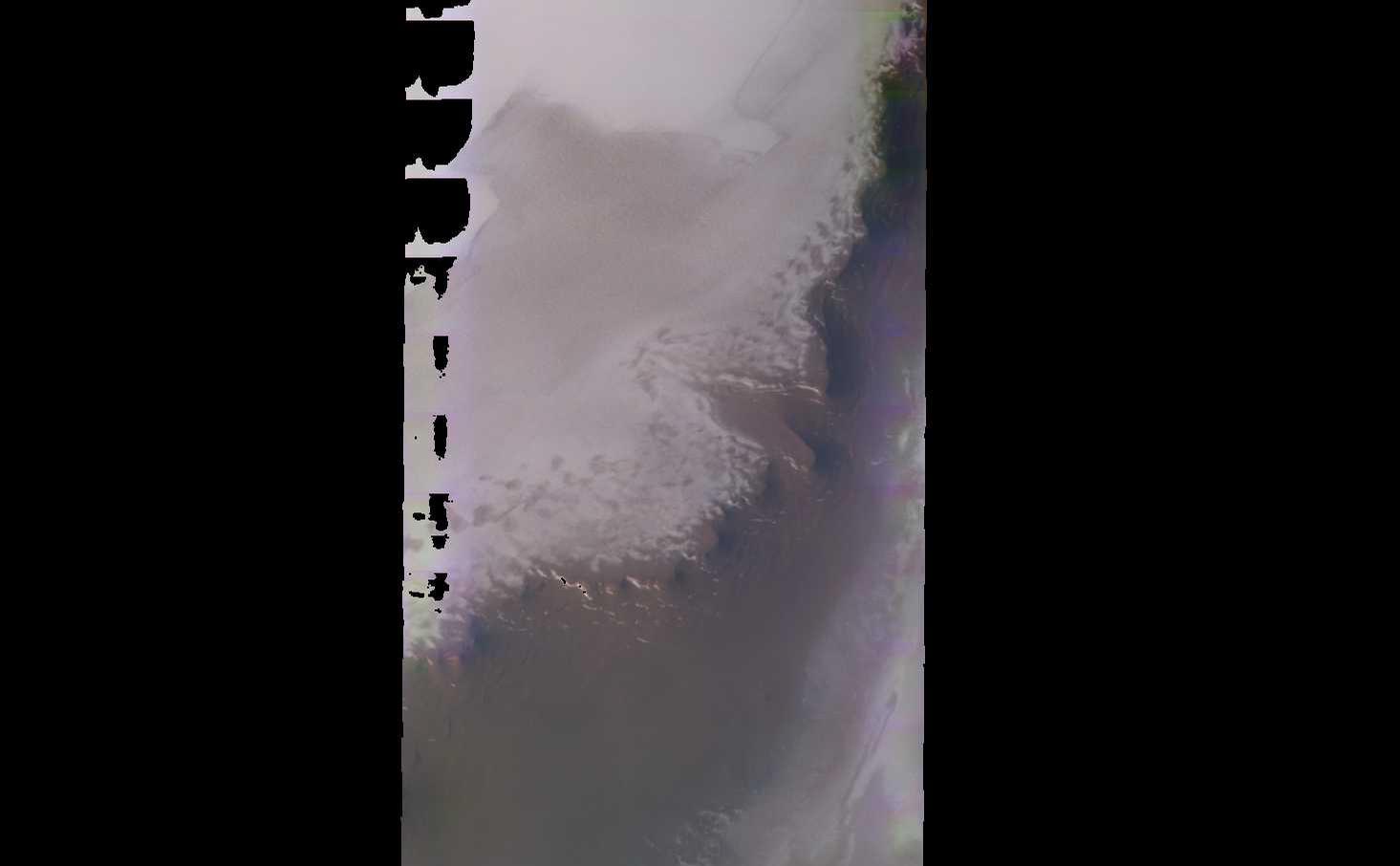
Planum Boreum crater
March 03, 2003
Planum Boreum crater
Credits
NASA/JPL-Caltech/ASU
ENLARGE
[51, 179]
Related
Valleys much younger than well-known ancient valley networks on Mars are evident near the informally named "Heart Lake" on Mars. This map presents color-coded topographical information overlaid ont...
Landscape of Former Lakes and Streams on Northern Mars
This artist's animation shows how orbiters over Mars will monitor the landing of NASA's Curiosity rover. (No audio)
Great Convergence of Spacecraft around Mars
This image from NASA's 2001 Mars Odyssey spacecraft shows part of the margin of the north polar cap and the surrounding plains. The layering of the ice is easily visible due to the dust that is dep...
Polar Layers
Although it is 45 kilometers (28 miles) wide, countless layers of ice and dust have all but buried Udzha Crater.
Mars Odyssey All Stars: Udzha Crater
This movie shows the Martian moon Phobos as viewed in visible light by NASA's 2001 Mars Odyssey orbiter on April 24, 2019. The apparent motion is due to movement by Odyssey's infrared camera, Therm...
Odyssey Views Phobos in Visible Light: April 24, 2019
This image shows two small tributaries, just east of where they join Shalbatana Vallis.
Shalbatana Vallis
A large sandsheet with surface dune forms is shown in today's image of Aonia Terra.
Dunes in Aonia Terra
As fractures opened near the summit of Tyrrhena Patera, the ground collapsed to make pits and chains of pits aligned with the fractures. The large pit seen here is about 400 m (1,300 ft) deep.
Collapse on Tyrrhena Patera
This computer-generated view based on multiple orbital observations shows Mars' Gale crater as if seen from an aircraft north of the crater.
Oblique view of Gale Crater from the North
Mars program Chief Engineer Robert Shotwell describes Mars Odyssey's unprecedented view of comet Siding Spring as the comet sweeps by the Red Planet on Oct. 19 and how it will maneuver to take images.
NASA's Mars Odyssey Maneuvers to Image Comet Siding Spring
Artist’s concept of Comet Siding Spring approaching Mars, shown with NASA’s orbiters preparing to make science observations of this unique encounter.
NASA's Mars Orbiters Maneuvers as Comet Siding Spring Approaching Mars
The Odyssey spacecraft was launched toward Mars on April 7, 2001 from Cape Canaveral, Florida. In this four-part video series, Odyssey navigation team members explain the daily challenges of steeri...
Challenges of Getting to Mars: Aerobraking
This image of Phobos is one product of the first pointing at that Martian moon by the THEMIS camera on NASA's Mars Odyssey orbiter. The Sept. 29, 2017, observation also provided information about ...
Martian Moon Phobos Observed by NASA's Odyssey
First THEMIS Image of Mars
First THEMIS Image of Mars
This image captured by NASA's 2001 Mars Odyssey spacecraft shows 'streamers' of clouds created by katabatic winds at the north polar cap.
Polar Winds
This false-color map shows the area within Gale Crater on Mars, where NASA's Curiosity rover landed on Aug. 5, 2012 PDT (Aug. 6, 2012 EDT).
Downslope of the Fan
Hills abound in this portion of Mars located in the Vastitas Borealis region of the high northern plains. These hills are part of Scandia Colles. Note that some of the hills have aprons surrounding...
Bumpy Terrain in Vastitas Borealis
The channels in this VIS image are part of Tyrrhena Fossae on the northern flank of Tyrrhenus Mons.
Tyrrhena Fossae
This image captured by NASA's 2001 Mars Odyssey spacecraft shows a section of Nanedi Valles, located in Xanthe Terra.
Nanedi Valles
Ninth-grade, high-school students from Peoria, AZ analyze images of Mars.
Student Teams Work As Real Scientists
NASA's Phoenix Mars Lander, its backshell and its heatshield are visible within this enhanced-color image of the Phoenix landing site taken on Jan. 6, 2010 by the High Resolution Imaging Science Ex...
Phoenix Lander Amid Disappearing Spring Ice
A sea of dark dunes, sculpted by the wind into long lines, surrounds the northern polar cap covering an area as big as Texas.
Mars Odyssey All Stars: Polar Dunes
A vast dune field lies near the northern polar cap of Mars. Seen here in summer, the dunes have partially buried an impact crater about 1,000 meters (3,300 feet) wide.
Mars Odyssey All Stars: Dunes Engulf Crater
NASA's 2001 Mars Odyssey orbiter arrived at Mars on Oct. 24, 2001.
Mars Odyssey Orbiter By the Numbers
This image from NASA's 2001 Mars Odyssey spacecraft shows part of the caldera floor of Arsia Mons. Arsia Mons is the southernmost of the Tharsis volcanoes. It is 270 miles in diameter, almost 12 mi...
Investigating Mars: Arsia Mons
You Might Also Like
The agency established the board in May 2023 to evaluate the technical, cost, and schedule plans prior to confirmation of the mission’s design.
NASA Releases Independent Review's Mars Sample Return Report
A pair of quakes in 2021 sent seismic waves deep into the Red Planet’s core, giving scientists the best data yet on its size and composition.
NASA InSight Study Provides Clearest Look Ever at Martian Core
Ten sample tubes, capturing an amazing variety of Martian geology, have been deposited on Mars’ surface so they could be studied on Earth in the future.
NASA's Perseverance Rover Completes Mars Sample Depot
Filled with rock, the sample tube will be one of 10 forming a depot of tubes that could be considered for a journey to Earth by the Mars Sample Return campaign.
NASA's Perseverance Rover Deposits First Sample on Mars Surface
The mission has concluded that the solar-powered lander has run out of energy after more than four years on the Red Planet.
NASA Retires InSight Mars Lander Mission After Years of Science
The 10 sample tubes being dropped on Mars’ surface so they can be studied on Earth in the future carry an amazing diversity of Red Planet geology.
NASA's Perseverance Rover to Begin Building Martian Sample Depot