NASA
NASA Science
Mars Exploration Program
Skip Navigation
menu
Images
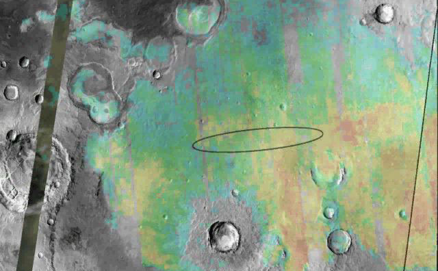
Meridiani Planum
August 24, 2004
Credits
NASA/JPL/Arizona State University
ENLARGE
[51, 179]
Related
No NASA Mars orbiter has been in a position to observe morning daylight on Mars since the twin Viking orbiters of the 1970s.
Martian Morning Clouds Seen by Viking Orbiter 1 in 1976
This movie shows three views of the Martian moon Phobos as viewed in visible light by NASA's 2001 Mars Odyssey orbiter. The apparent motion is due to movement by Odyssey's infrared camera, Thermal ...
Odyssey's Three Views of Phobos in Visible Light
This animation shows how NASA's Curiosity rover communicates with Earth via two of NASA's Mars orbiters, Mars Reconnaissance Orbiter (MRO) and Odyssey, and the European Space Agency's Mars Express....
Curiosity Communicates with Help From Its 'Friends'
A large mound of sand and dune forms are located on the floor of an unnamed crater south of Rabe Crater in Noachis Terra.
Rabe Crater in Noachis Terra
This mosaic image of Valles Marineris - colored to resemble the martian surface - comes from the Thermal Emission Imaging System (THEMIS), a visible-light and infrared-sensing camera on NASA's Mars...
The Grand Canyon of Mars-Valles Marineris
How do you converse with a robot nearly one hundred million miles away? In this video, Odyssey team members describe communications with the 2001 Mars Odyssey spacecraft using the antennas of the D...
Challenges of Getting to Mars: Telecommunications
Large fractures have formed 'steps' in this region of Tempe Terra.
Tempe Terra
Odyssey launched on Boeing's Delta II 7925 that uses nine strap-on solid rocket motors.
Odyssey Launches Boeing's Delta II 7925
Download a PDF of the 2001 Mars Odyssey Arrival Press Kit.
2001 Mars Odyssey Arrival Press Kit
This false color image shows a region with craters of different ages located at the margin of Acidalia Planitia. This image was collected during the Northern Spring season.
Cratered Acidalia Planitia
As fractures opened near the summit of Tyrrhena Patera, the ground collapsed to make pits and chains of pits aligned with the fractures. The large pit seen here is about 400 m (1,300 ft) deep.
Collapse on Tyrrhena Patera
This image is near the southern edge of a low, broad volcanic feature called Syrtis Major.
Syrtis Major
This image captured by NASA's 2001 Mars Odyssey spacecraft shows 'streamers' of clouds created by katabatic winds at the north polar cap.
Polar Winds
Mars Odyssey Project Manager Gaylon McSmith, of NASA's Jet Propulsion Laboratory
Mars Odyssey Project Manager Gaylon McSmith
Martian surface frost, made up largely of carbon dioxide, appears blueish-white in these images from the Thermal Emission Imaging System (THEMIS) camera aboard NASA’s 2001 Odyssey orbiter. THEMIS t...
Four Images of Morning Frost on Mars
NASA Science missions circle Earth, the Sun, the Moon, Mars and many other destinations within our solar system, including spacecraft that look out even further into our universe. The Science Fleet...
SMD Spacecraft Fleet
A small section of Dao Vallis in shown in this VIS image. Dao Vallis is a major channel that drains into Hellas Planitia
Dao Valles
NASA's Mars Odyssey spacecraft passes above Mars' south pole in this artist's concept illustration. The spacecraft has been orbiting Mars since October 24, 2001.
Odyssey over Mars' South Pole
This image from NASA's Mars Odyssey shows ice-rich clouds over the summit of Arsia Mons.
Ice-Rich Clouds - False Color
Download a PDF of the Mars as Art Booklet.
Mars as Art (2013)
2021_WindingTributary.jpg
Winding Side Canyon (Louros Valles)
A "Grand Canyon of Mars" slices across the Red Planet near its equator.
Mars Canyon with Los Angeles for Scale
Sand dunes shaped like blue-black flames lie next to a central hill within an unnamed, 120-kilometer-wide (75-mile-wide) crater in eastern Arabia on Mars.
Mars Odyssey All Stars: Arabia Dunes
This image is located near the boundary between Syrtis Major and Isidis Planitia. The top of the image shows rough material that has eroded away from the lower portion of the image, revealing an un...
Erosion and what it Reveals
This movie begins with an animation (artist's rendering) of NASA's Mars Reconnaissance Orbiter spacecraft above Mars. The scene zooms into an "X-ray" view of the spacecraft, revealing the High Reso...
Mars Orbiter Observes Comet Siding Spring
You Might Also Like
The agency established the board in May 2023 to evaluate the technical, cost, and schedule plans prior to confirmation of the mission’s design.
NASA Releases Independent Review's Mars Sample Return Report
A pair of quakes in 2021 sent seismic waves deep into the Red Planet’s core, giving scientists the best data yet on its size and composition.
NASA InSight Study Provides Clearest Look Ever at Martian Core
Ten sample tubes, capturing an amazing variety of Martian geology, have been deposited on Mars’ surface so they could be studied on Earth in the future.
NASA's Perseverance Rover Completes Mars Sample Depot
Filled with rock, the sample tube will be one of 10 forming a depot of tubes that could be considered for a journey to Earth by the Mars Sample Return campaign.
NASA's Perseverance Rover Deposits First Sample on Mars Surface
The mission has concluded that the solar-powered lander has run out of energy after more than four years on the Red Planet.
NASA Retires InSight Mars Lander Mission After Years of Science
The 10 sample tubes being dropped on Mars’ surface so they can be studied on Earth in the future carry an amazing diversity of Red Planet geology.
NASA's Perseverance Rover to Begin Building Martian Sample Depot