NASA
NASA Science
Mars Exploration Program
Skip Navigation
menu
Images
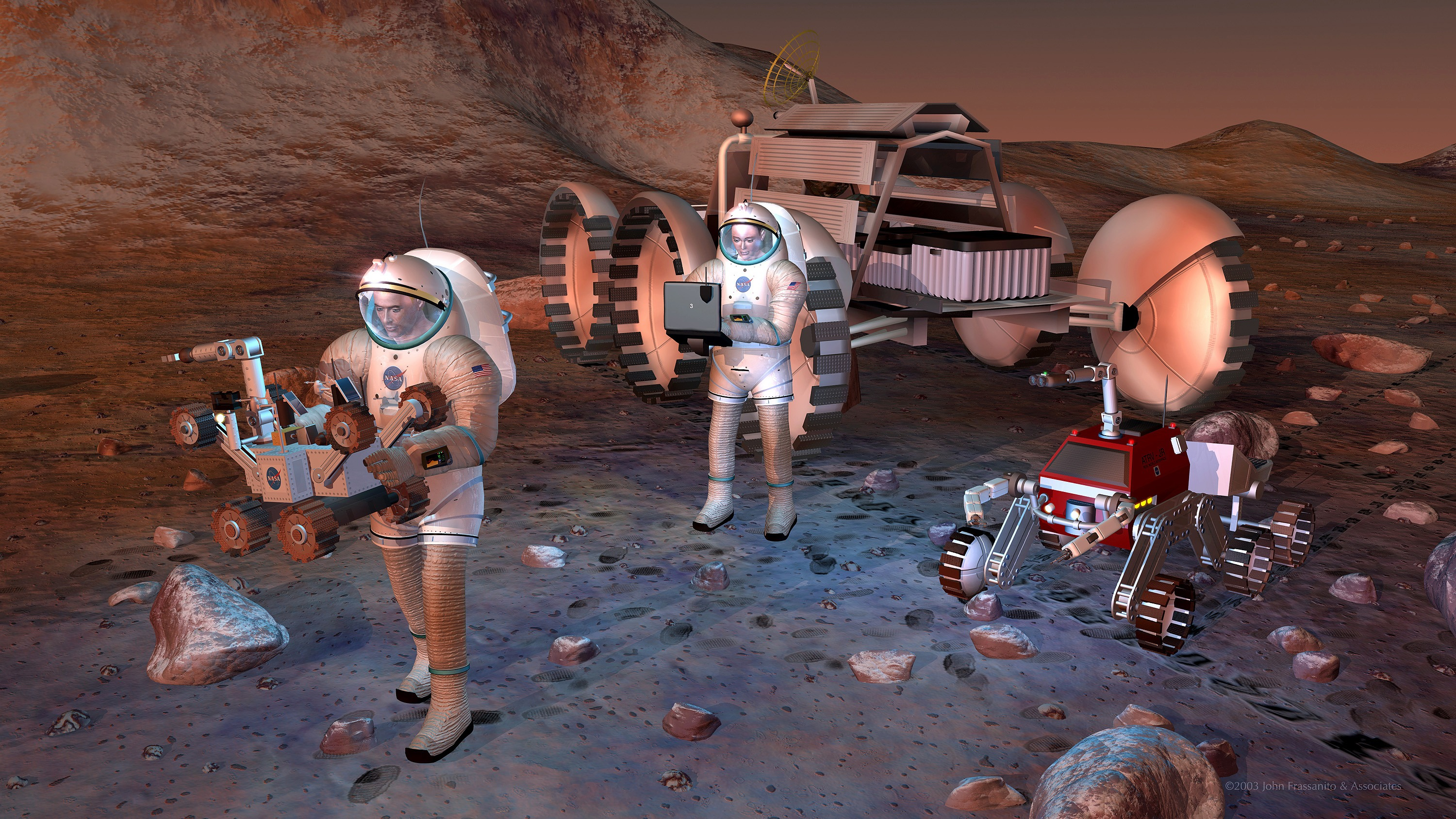
Artist's concept of future humans on Mars.
August 24, 2004
Credits
NASA/JPL-Caltech
ENLARGE
[51, 179]
Related
This false-color map shows the area within Gale Crater on Mars, where NASA's Curiosity rover landed on Aug. 5, 2012 PDT (Aug. 6, 2012 EDT) and the location where Curiosity collected its first drill...
Location of John Klein Drill Site
This image from NASA's Mars Odyssey shows ice-rich clouds over the summit of Arsia Mons.
Ice-Rich Clouds - False Color
The dunes in this VIS image are located in Aonia Terra.
Dunes in Aonia Terra
NASA's Phoenix Mars Lander, its backshell and its heatshield are visible within this enhanced-color image of the Phoenix landing site taken on Jan. 6, 2010 by the High Resolution Imaging Science Ex...
Phoenix Lander Amid Disappearing Spring Ice
Part of a multispectral THEMIS infrared image of Nili Patera caldera on Syrtis Major has been superimposed on a high-resolution THEMIS visual image.
Nili Patera and Dacite Lava Flow
Stages in the seasonal disappearance of surface ice from the ground around the Phoenix Mars Lander are visible in these images taken on Feb. 8, 2010, (left) and Feb. 25, 2010, during springtime on ...
Ice Around Phoenix Lander Continues to Lessen in Spring
A small section of Dao Vallis in shown in this VIS image. Dao Vallis is a major channel that drains into Hellas Planitia
Dao Valles
Ninth-grade, high-school students from Peoria, AZ analyze images of Mars.
Student Teams Work As Real Scientists
A group of small, unnamed craters in the martian southern hemisphere is the first site captured by a group of middle school students who are operating the camera system onboard NASA's Mars Odyssey ...
Students participating in the Mars Student Imaging Project
The Odyssey spacecraft was launched toward Mars on April 7, 2001 from Cape Canaveral, Florida. In this four-part video series, Odyssey navigation team members explain the daily challenges of steeri...
Challenges of Getting to Mars: Aerobraking
This series of images was taken in visible-wavelength light as the THEMIS camera on NASA's Mars Odyssey scanned across the Martian moon Phobos on Sept. 29, 2017. The apparent motion is due to progr...
Series of Images from THEMIS Scanning Phobos
This mosaic image of Valles Marineris - colored to resemble the martian surface - comes from the Thermal Emission Imaging System (THEMIS), a visible-light and infrared-sensing camera on NASA's Mars...
The Grand Canyon of Mars-Valles Marineris
Sand dunes shaped like blue-black flames lie next to a central hill within an unnamed, 120-kilometer-wide (75-mile-wide) crater in eastern Arabia on Mars.
Mars Odyssey All Stars: Arabia Dunes
Artist rendering of commercial Mars satellites providing communications back to Earth.
Artist's Concept of Mars Satellites
Sand-laden jets shoot into the polar sky in this view by noted space artist Ron Miller.
Sand-Laden Jets
A large mound of sand and dune forms are located on the floor of an unnamed crater south of Rabe Crater in Noachis Terra.
Rabe Crater in Noachis Terra
Chasma Boreale is a long, flat-floored valley that cuts deep into Mars' north polar icecap
Mars Odyssey All Stars: Chasma Boreale
Researchers estimating the amount of carbon held in the ground at the largest known carbonate-containing deposit on Mars utilized data from three different NASA Mars orbiters.
Multiple Instruments Used for Mars Carbon Estimate
This artist's animation shows how orbiters over Mars will monitor the landing of NASA's Curiosity rover. (No audio)
Great Convergence of Spacecraft around Mars
Color coding in this map of a far-northern site on Mars indicates the change in nighttime ground-surface temperature between summer and fall. This site, like most of high-latitude Mars, has water i...
Depth-to-Ice Map of an Arctic Site on Mars
Getting to Mars is difficult enough -- staying there is even more challenging. Odyssey met up with Mars on October 24 02:26 UTC (October 23: 7:26 p.m. PDT/10:26 p.m.EDT).
Orbit Insertion
This THEMIS visible image shows a close-up view of the ridged plains in Hesperia Planum. This region is the classic locality for martian surfaces that formed in the "middle ages" of martian history.
Hesperia Planum
Colors in this image of the Martian moon Phobos indicate a range of surface temperatures detected by observing the moon on Sept. 29, 2017, with the Thermal Emission Imaging System (THEMIS) camera o...
Martian Moon Phobos in Thermal Infrared Image
Download a PDF of the 2001 Mars Odyssey Arrival Press Kit.
2001 Mars Odyssey Arrival Press Kit
This image from NASA's 2001 Mars Odyssey spacecraft shows part of the caldera floor of Arsia Mons. Arsia Mons is the southernmost of the Tharsis volcanoes. It is 270 miles in diameter, almost 12 mi...
Investigating Mars: Arsia Mons
You Might Also Like
The agency established the board in May 2023 to evaluate the technical, cost, and schedule plans prior to confirmation of the mission’s design.
NASA Releases Independent Review's Mars Sample Return Report
A pair of quakes in 2021 sent seismic waves deep into the Red Planet’s core, giving scientists the best data yet on its size and composition.
NASA InSight Study Provides Clearest Look Ever at Martian Core
Ten sample tubes, capturing an amazing variety of Martian geology, have been deposited on Mars’ surface so they could be studied on Earth in the future.
NASA's Perseverance Rover Completes Mars Sample Depot
Filled with rock, the sample tube will be one of 10 forming a depot of tubes that could be considered for a journey to Earth by the Mars Sample Return campaign.
NASA's Perseverance Rover Deposits First Sample on Mars Surface
The mission has concluded that the solar-powered lander has run out of energy after more than four years on the Red Planet.
NASA Retires InSight Mars Lander Mission After Years of Science
The 10 sample tubes being dropped on Mars’ surface so they can be studied on Earth in the future carry an amazing diversity of Red Planet geology.
NASA's Perseverance Rover to Begin Building Martian Sample Depot