NASA
NASA Science
Mars Exploration Program
Skip Navigation
menu
Images
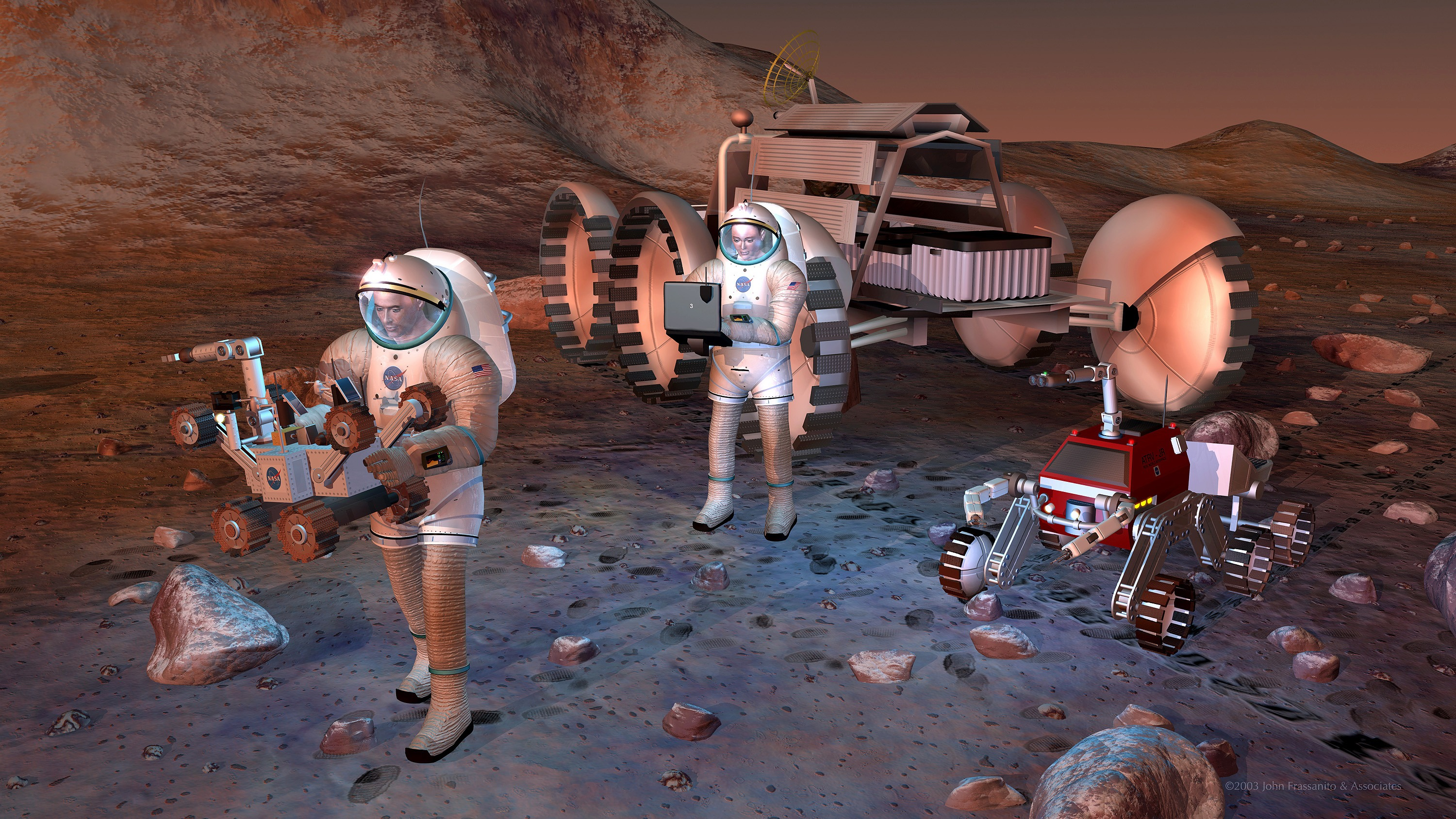
Artist's concept of future humans on Mars.
August 24, 2004
Credits
NASA/JPL-Caltech
ENLARGE
[51, 179]
Related
The Odyssey spacecraft was launched toward Mars on April 7, 2001 from Cape Canaveral, Florida. In this four-part video series, Odyssey navigation team members explain the daily challenges of steeri...
Challenges of Getting to Mars: Aerobraking
This lava channel is part of the Elysium Mons flows.
Lava Channel
Interact with this 3D model of Mars Odyssey.
Mars Odyssey Orbiter, 3D Model
This is a Mars Odyssey visible color image of an unnamed crater in western Arcadia Planitia (near 39 degrees N, 179 degrees E). The crater shows a number of interesting internal and external featur...
Western Arcadia Planitia
Download a PDF of the 2001 Mars Odyssey Arrival Press Kit.
2001 Mars Odyssey Arrival Press Kit
This image shows a 90-mile-wide portion of the giant Valles Marineris canyon system. Landslide debris and gullies in the canyon walls on Mars can be seen at 100 meters (330 feet) per pixel.
Close View of Valles Marineris
A false-color mosaic focuses on one junction in Noctis Labyrinthus where Mars canyons meet to form a depression 4,000 meters (13,000 feet) deep.
Canyon Junction
A sea of dark dunes, sculpted by the wind into long lines, surrounds the northern polar cap covering an area as big as Texas.
Mars Odyssey All Stars: Polar Dunes
Morning clouds fill Coprates Chasma on Mars in this Nov. 25, 2015, image from the THEMIS camera on NASA's Mars Odyssey. No orbiter systematically observed Mars in morning sunlight before 2015. The ...
Mars Odyssey View of Morning Clouds in Canyon
At the time this video was released, the Odyssey team had successfully completed the third trajectory correction maneuver to adjust the spacecraft's flightpath toward its final aimpoint for entry i...
Challenges of Getting to Mars: Interplanetary Cruise
As fractures opened near the summit of Tyrrhena Patera, the ground collapsed to make pits and chains of pits aligned with the fractures. The large pit seen here is about 400 m (1,300 ft) deep.
Collapse on Tyrrhena Patera
A false-color mosaic focuses on one junction in Noctis Labyrinthus where canyons meet to form a depression 4,000 meters (13,000 feet) deep.
Mars Odyssey All Stars: Noctis Canyon
A lunar eclipse, a solar eclipse and Mars has a close encounter with a comet.
What's Up for October?
Download a PDF of the Mars Odyssey Fact Sheet.
Odyssey Fact Sheet
Colors in this image of the Martian moon Phobos indicate a range of surface temperatures detected by observing the moon on Sept. 29, 2017, with the Thermal Emission Imaging System (THEMIS) camera o...
Martian Moon Phobos in Thermal Infrared Image
This artist's animation shows how orbiters over Mars will monitor the landing of NASA's Curiosity rover. (No audio)
Great Convergence of Spacecraft around Mars
Large fractures have formed 'steps' in this region of Tempe Terra.
Tempe Terra
This color-coded map indicates the depth to icy layers at a site in southern Mars. The dense, icy layer retains heat better than the looser soil above it, so where the icy layer is closer to the su...
Depth-to-Ice Map of a Southern Mars Site Near Melea Planum
Women working in science, technology, engineering and mathematics at NASA's Jet Propulsion Laboratory pose for a photo in mission control in honor of Women in Science Day.
Women in Science
A group of small, unnamed craters in the martian southern hemisphere is the first site captured by a group of middle school students who are operating the camera system onboard NASA's Mars Odyssey ...
Students participating in the Mars Student Imaging Project
This image shows the context for orbital observations of exposed rocks that had been buried an estimated 5 kilometers (3 miles) deep on Mars.
Nature's Drilling Exposes Deeply Buried Minerals
Planum Boreum crater
Planum Boreum crater
This computer-generated view based on multiple orbital observations shows Mars' Gale crater as if seen from an aircraft north of the crater.
Oblique view of Gale Crater from the North
The dune field in this polar region crater looks like a stubby arrow pointing the way west. This unnamed crater is located in Planum Chronium.
Unnamed crater is located in Planum Chronium.
Download a PDF of the Explore Mars Sticker.
Explore Mars Sticker
You Might Also Like
The agency established the board in May 2023 to evaluate the technical, cost, and schedule plans prior to confirmation of the mission’s design.
NASA Releases Independent Review's Mars Sample Return Report
A pair of quakes in 2021 sent seismic waves deep into the Red Planet’s core, giving scientists the best data yet on its size and composition.
NASA InSight Study Provides Clearest Look Ever at Martian Core
Ten sample tubes, capturing an amazing variety of Martian geology, have been deposited on Mars’ surface so they could be studied on Earth in the future.
NASA's Perseverance Rover Completes Mars Sample Depot
Filled with rock, the sample tube will be one of 10 forming a depot of tubes that could be considered for a journey to Earth by the Mars Sample Return campaign.
NASA's Perseverance Rover Deposits First Sample on Mars Surface
The mission has concluded that the solar-powered lander has run out of energy after more than four years on the Red Planet.
NASA Retires InSight Mars Lander Mission After Years of Science
The 10 sample tubes being dropped on Mars’ surface so they can be studied on Earth in the future carry an amazing diversity of Red Planet geology.
NASA's Perseverance Rover to Begin Building Martian Sample Depot