Written by Abigail Fraeman, Planetary Geologist at NASA's Jet Propulsion Laboratory
Not to be overshadowed by other goings on in the solar system today, we planned a full day of activities for Curiosity. Unfortunately, some of the arm activities and the drive we planned over the weekend didn't execute because Mars was slightly colder than we expected, and we didn't heat the actuators in the arm for quite long enough. Tosol we're therefore planning to recoup the contact science observations we had planned on sandy ripples in front of the rover. We will be taking MAHLI images of targets "The Shivers," "Trumpet," and "Hosmer," and also an APXS observation of Trumpet. Following the contact science activities, we'll go for a drive that continues along the strategically planned route towards the area Curiosity will ascend Vera Rubin Ridge. Between the many arm activities and drive, we didn't have time to get targeted remote sensing science in the plan, but we did plan a post-drive Mastcam clast survey, some deck monitoring, a MARDI, standard DAN and REMS activities, and a ChemCam LIBS observation of the calibration target onboard the rover.
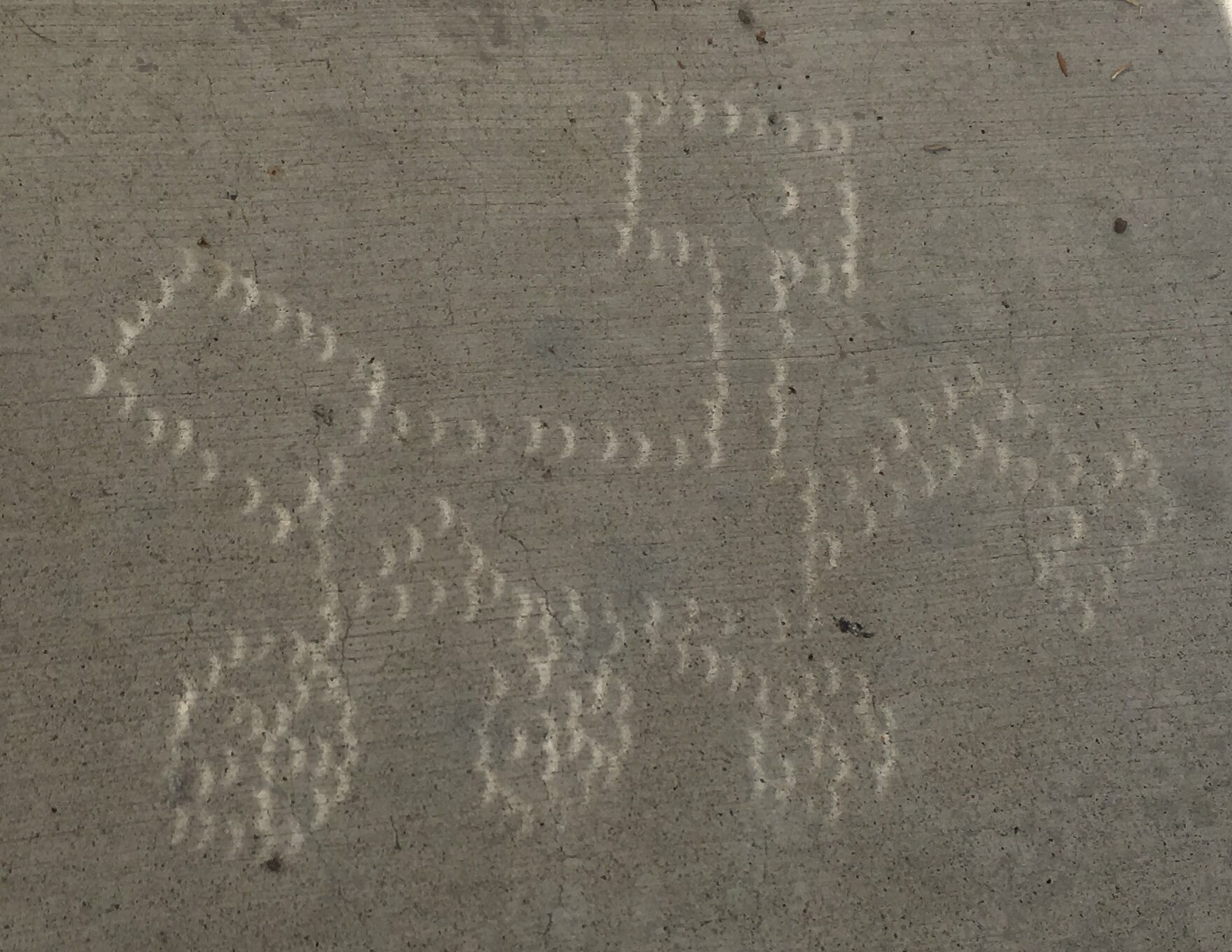
Curiosity science team member Fred Calef's unique pinhole viewer showing crescent shadows during the eclipse.
Back on Earth, the tactical team built a 15-minute eclipse delay into the middle of planning so that the team could go outside to observe the solar eclipse that occurred in the skies over Los Angeles and much of North America. While JPL was located substantially south of the path of totality, the partial eclipse still dimmed the Sun to a level that was approximately equivalent to what Curiosity would see on the surface of Mars. (On a clear day, Mars receives less solar insolation than Earth because it's farther from the Sun.) Science team member Fred Calef also got particularly creative in his Curiosity themed pinhole viewer.
Solar eclipses happen on Mars too, although the Martian moons Phobos and Deimos are too small to completely cover the Sun like on Earth. Curiosity has had the opportunity to observe several of these awesome celestial events throughout the mission, including one back in 2013 when even the rover couldn't help but take a pause in the middle of a drive to look skyward. Fortunately, with special solar filters already built into the rover's cameras, Curiosity didn't need to worry about ordering eclipse glasses last minute in order to capture these spectacular images.
Written by Mark Salvatore, Planetary Geologist at University of Michigan
Even though Curiosity did not drive the planned 15 meters yesterday evening (she only made it about 11 meters), she moved far enough down the road to get in good position to acquire a full high-resolution mosaic of Vera Rubin Ridge (VRR) over the weekend, which was the hope for yesterday's drive. In addition, Curiosity parked herself in a nice sandy location where we can continue to investigate sand ripples on our way towards the ridge. Today, the science team planned a full weekend of scientific investigations and data collection.
ChemCam will kick off this weekend's science plan by investigating the chemistry of two of the few rocky targets in front of the rover: "Zephyr Ledges," the multi-toned flaky patch of rocky material surrounded by sand ripples, and "Wallace Ledge," which is a more massive piece of rock a bit further from the rover. Following these chemistry measurements, Mastcam will be used to document these two rocky targets, including a multispectral observation of "Zephyr Ledges" and the surrounding sands. Multispectral observations collect images at more wavelengths than our eyes are accustomed to viewing, which allows us to detect "color" variations that help us to decipher the composition of these different materials. ChemCam will also collect a high-resolution image mosaic of VRR from this location before Sol 1790's first block of scientific investigations is completed. The second science block of Sol 1790 will be dedicated exclusively to collecting a twelve image mosaic of VRR using Mastcam. As mentioned in yesterday's mission update, these mosaics are essential to understand the structure of the ridge as can be seen from this perspective. Once we are up on VRR itself, we will be unable to see these subsurface layers in the same context.
Late in the afternoon on Sol 1790, Curiosity will unfurl her arm and will begin a chemistry analysis of a sand ripple named "The Shivers" using the Alpha Particle X-Ray Spectrometer (APXS) instrument. This measurement will last several hours, as the X-rays and alpha particles are generated by the slow radioactive decay of curium within the instrument. The longer the APXS is put in contact with a sample of interest, the more precise the chemical measurement will be. Following the measurement of "The Shivers," the APXS will then be moved to another sand ripple target known as "Trumpet," where it will remain overnight to collect several additional hours of chemical analyses. As has been commonly seen in Gale crater, sand ripples exhibit differences in both color and grain size, even over very short distances. These variations provide really valuable information about wind patterns, the size of particles that can be moved by the wind, and whether there is any difference in composition between sediments of different grain sizes. Both "The Shivers" and "Trumpet" exhibit such differences in color and grain size, which is why they are targets of investigation for this weekend's science plan.
This image was taken by Mastcam: Left (MAST_LEFT) onboard NASA's Mars rover Curiosity on Sol 1331 (2016-05-04 17:52:25 UTC). Image Credits: NASA/JPL-Caltech/MSSS
On Sol 1791, Curiosity will focus on monitoring the local environment in Gale crater. Standard measurements of the local weather and radiation environment will be made, as well as passive sky observations using ChemCam. Mastcam will be employed to image the distant rim of Gale crater, as a means of determining how dusty the martian atmosphere is on this day. These measurements are extremely valuable for several reasons, including understanding whether the martian atmosphere will hinder our ability to study the surface both from the ground and from orbit. As a brief demonstration of just how big of an influence dust in Mars' atmosphere can have on imaging at long distances, consider these two images, one from May of 2016 and the other from November of 2016. Both of these images are looking at the same location on the rim of Gale crater, and they highlight just how variable the Martian atmosphere can be. This is why constant dust monitoring is an important aspect of the Curiosity mission. Before Curiosity eventually stows her arm from the previous evening's APXS measurements, the Mars Hand Lens Imager (MAHLI) will be used to collect very high resolution images of these targets for documentation purposes and to further investigate grain size variations.
On Sol 1792, Curiosity will head off on a planned 40 meter drive to the east-southeast along the planned VRR ascent route. After the drive, she will acquire Navcam and Mascam images of her immediate surroundings for the science team to use in their planning efforts on Monday morning. As always, the Mars Descent Imager (MARDI) will also acquire an image from below the rover.
Thinking back to the two rocky targets being investigated on the first day of this weekend plan, "Zephyr Ledges" and "Wallace Ledge," I can't help but think of how perfect these names are at this stage of the mission. On Earth, these two names correspond to shallow sand bars off the east coast of Maine, in the shallow ocean near more prominent islands that rise above the water. As Curiosity is starting to make preparations to ascend VRR, you can imagine the shallow sand sea that Curiosity is currently exploring and looking up towards the more prominent ridge just to the south. Take away the mighty Atlantic Ocean, and I wouldn't be surprised if the hike from one of these shallow sand bars up to a nearby island doesn't feel similar to Curiosity's upcoming ascent from the lower Murray formation up into Vera Rubin Ridge.
Written by Christopher Edwards, Planetary Geologist at Northern Arizona University
I was the Surface Properties Scientist, or SPS, on staff today. After completing a successful drive back to the strategic route to continue up the Vera Rubin Ridge, we arrived at a workspace filled with sand and a lone rock outcrop dubbed "Dumplings Island" seen in the center of the included image. This rock outcrop was the focus of most of today's planned activities, including high resolution microscopic imaging with the Mars Hand Lens Imager (MAHLI) to characterize the outcrop's particle size and small scale textures. In addition Alpha Particle X-Ray Spectrometer (APXS) and ChemCam observations were planned to understand the composition of this rock outcrop, providing another important compositional data point as Curiosity traverses the Vera Rubin Ridge stratigraphy. The rover to passed its Slip Risk Assessment Process (SRAP) with flying colors, which was needed to carry out the arm-based activities in today's plan. After finishing the drive to the current location, Curiosity ended up on a relatively flat spot with its wheels in good contact with the sandy surface that likely overlies bedrock. As such, the likelihood of rover wheel slippage due to arm activities was judged to be very low.
Given the strong desire to continue to drive up the Vera Rubin Ridge, there was a tradeoff between extending the duration of science activities and extending the planned drive. As the plan was already quite busy, no additional science duration was able to be allocated and the rover only got a few more minutes of drive time. In all, there wasn't much wiggle room in today's plan! Not much additional imaging, other than that required to characterize the compositional targets, made it in to the plan either.
The path for the coming sols should follow our predefined strategic route closely as there's a lower slope gap in the steep cliffs of the Vera Rubin Ridge that makes for a safe path to the top. It should be an exciting next few days of planning with some great views once Curiosity makes it to the top of the ridge and can look out over the path that's been driven in the past 5 years of Mars surface operations.
Written by Mark Salvatore, Planetary Geologist at University of Michigan
As Curiosity inches closer towards ascending Vera Rubin Ridge (VRR), the science team is continuing to be diligent in both characterizing the local surroundings while also looking ahead and imaging the ridge upon approach. Today's plan is a perfect example of these split scientific priorities. The team selected several targets near the rover to analyze using its remote sensing instruments, while also allowing time for the rover to drive approximately 15 meters ahead and get into position for tomorrow's science and this weekend's long imaging campaign of VRR.
After Curiosity awakes at about 10am local time on Mars (approximately 9pm PDT on Thursday evening), her scientific activities will begin with two active ChemCam chemistry investigations of two bedrock targets immediately in front of the rover. The first target (named "Megee," located just above the shadow of Curiosity's mast in the lower portion of the image) contains an interesting linear feature that is likely a vein of altered material that is common to the Murray formation. The second target (named "Manana," located above and to the left of "Megee") is a more "classic" and representative Murray bedrock target, which will help scientists to determine how the Murray formation changes as Curiosity moves laterally and vertically within this mudstone-dominated unit. After these measurements, Curiosity will then use the high resolution Mastcam to document these two targets, will perform routine imaging of the rover deck, and will take stereo images (to produce three-dimensional information) of a complex ripple field just off the right-front wheel of the rover (named "Leadbetter"). Sediment ripples on Mars have fascinated scientists for decades, and continue to be extensively studied using both orbital and landed spacecraft. With Mars' lower gravity and lack of vegetation, scientists can learn quite a bit about how local wind patterns interact with sediment of differing grain sizes to form ripples with different shapes and wavelengths. The science team was lucky to have such an interesting ripple target close to today's study area to further this long-duration study of Martian sedimentary processes.
After the planned ~15 meter drive to take place in the early Martian afternoon, Curiosity will perform some quick imaging of her surroundings and VRR using the Navcam cameras before sending these data up to the Mars Reconnaissance Orbiter and then back to Earth for tomorrow's science planning activities. Following this data transfer, Curiosity will complete her Navcam imaging (including a survey for nearby dust devils) and will use Mastcam to look for nearby rocks. ChemCam will also perform an automated chemistry analysis of a target of interest in the surrounding landscape using its AEGIS capabilities. Lastly, the Mars Descent Imager (MARDI) will continue its faithful tradition of imaging the terrain just below the rover's belly.
Tomorrow's plan will also include activities for Curiosity to complete over the weekend, which will include a large Mastcam mosaic of VRR from this new perspective. Within the next few weeks, Curiosity will make another turn to the south to begin her ascent up VRR. Once on top of the ridge, it will be very difficult to image and analyze any evidence of layering or spectral variations that may be observed looking at the layers leading up to the top of the ridge. To a geologist, this layering (or stratigraphy, in geologic terms) is oftentimes the most important data that one can acquire in trying to understand the origin and history of geologic features. Think about all of the information you might be able to learn from the layering exposed in the Grand Canyon - the top of the Grand Canyon is far less interesting than the layers exposed within it. Therefore, we are trying to be as diligent as possible to methodically image the ridge on our approach.
Written by Michael Battalio, Planetary Climatologist at Yale University
I had a busy day as the ESTLK. At the start of operations, we discovered that the drive yestersol faulted prematurely after about only 15 m, which was roughly half the expected distance. The drive halted because one of the middle wheels experienced a large up and down motion as if going over a large rock. Due to the short distance since the last contact science and the uncertain nature of the stability of the terrain at Curiosity’s position, arm activities were ruled out due to the possibility of the rover shifting during arm motion. Thus, a possible touch and go plan was scaled back to only a drive away from the faulted position. This opened up a lot of science time, particularly for ENV.
ENV planned a late afternoon supra-horizon movie (SHM) and a zenith cloud movie. The SHM is pointed just above the horizon due north so is sun-safe all day, but the zenith movie must be captured late or early in the day to allow for Navcam imaging to be sun safe, as the camera is pointed nearly vertically. Sandwiched between the cloud movies, Navcam will take a 30-minute dust devil movie to try to catch dust devils in motion. In the early morning of Sol 1788, there will be a morning imaging suite with second SHM and zenith movies from Navcam, and Mastcam will take a tau and LOS measurement.
ChemCam will be marked healthy tosol from the anomaly over the weekend plan, but in an abundance of caution, GEO will only request one ChemCam observation of "Deadman Ledge," which is an area of exposed Murray bedrock at the base of Vera Rubin Ridge. The bulk of science will be performed by Mastcam, which will image "Folly Ledge," an area of exposed fractures, "Cubby Hole," an area of sand disturbed by the drive, a mosaic of the "Hupper" target from the Sol 1786 plan (outcrop of rock near center of the above image), and a documentation image of the ChemCam target. The Rover Planners also requested a Navcam image part way through the drive to look at what rock might have triggered the drive fault.
Written by Ken Herkenhoff, Planetary Geologist at USGS Astrogeology Science Center
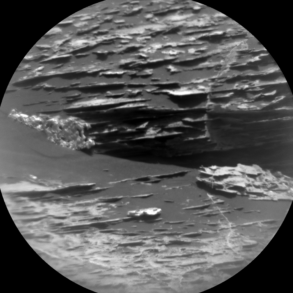
This image was taken by ChemCam: Remote Micro-Imager (CHEMCAM_RMI) onboard NASA's Mars rover Curiosity on Sol 1783. Credits: NASA/JPL-Caltech/LANL
MSL drove over 32 meters last weekend, to a sandy area with a few bedrock blocks, but ChemCam suffered an anomaly and was marked sick after the acquisition of the first RMI mosaic of Vera Rubin Ridge. The instrument is in a safe state and turned off, but no other ChemCam observations were successful last weekend. The instrument team will need at least one sol to recover, so no ChemCam activities will be planned today. The team concluded that it is not essential to acquire RMI data from the previous or current position, and agreed that we should stick with the touch-and-go that was strategically planned. So GEO selected "Emery Cove" as the target for a short APXS integration and 3 MAHLI images. After the arm is stowed, the Right Mastcam will take a picture of a rock named "Hupper" that appears to show cross-bedding and acquire two mosaics of "Shooting Rock" to test techniques for improving the image resolution while the RMI is unavailable. The two mosaics will be identical except for a small pointing offset between them, which should allow them to be combined into a "super-resolution" mosaic. Navcam will search for dust devils before the drive, which is planned to be about 28 meters long. In addition to the usual post-drive imaging, Navcam will take a couple half-frames of the top of Vera Rubin Ridge to enable accurate targeting in tomorrow's plan. Mastcam will measure the amount of dust in the atmosphere, and MARDI will take the standard twilight image before the rover recharges overnight. Once we decided how to react to the ChemCam anomaly this morning, planning went very smoothly, making for an easy day for me as SOWG Chair.
Written by Michelle Minitti, Planetary Geologist at Framework
For this three sol weekend plan, Curiosity sidled up to the base of the Vera Rubin Ridge (VRR), whose proximity is evidenced by the 12 degree upward tilt of the rover's parking position, for an extended suite of imaging of the ridge and its surroundings.
Curiosity will acquire a large mosaic (70 images!) with Mastcam's highest resolution camera of the beautiful bedding structures and dramatic veins seen in this portion of the VRR. She will also zoom in on two areas of particular interest - an example of parallel layering and a contact between bright and dark rocks - using ChemCam's Remote Microscopic Imager to further draw out details of the structures apparent there. These mosaics, along with others previously acquired at other imaging stops along the base of the VRR, will help the team unravel the origin of the VRR and its relationship to the Murray formation that Curiosity has spent so much time traversing over. Views of the relationship of the VRR and the Murray formation will also be afforded by the 360 degree Mastcam mosaic planned for early morning on Sol 1785.
The Murray formation will get up close and personal attention this weekend, as Curiosity will use MAHLI and APXS on two complementary Murray formation targets, "Burnt Coat" and "Pond of Tea." The former appears representative of Murray formation in this area, while the latter appears to have a greater proportion of sulfate material present within it. Burnt Coat will live up to its name, also getting shot by ChemCam's laser before it is imaged with MAHLI.
The ENV group cast Curiosity's gaze up above the VRR, acquiring ChemCam passive spectra of the sky to ascertain atmospheric chemistry, Mastcam images to measure atmospheric dustiness, and Navcam movies to search for clouds, like those captured in previous sky imaging efforts.
With all this science in the bag, Curiosity will drive east and steadily closer to the spot where we will eventually make our ridge ascent. With the ridge remaining a dramatic target to our south for many sols to come, more spectacular imaging opportunities await!
Written by Rachel Kronyak, Planetary Geologist at NASA's Jet Propulsion Laboratory
Lately, one of our biggest science objectives is to conduct bedrock APXS measurements with every 5-meter climb in elevation. This allows us to systematically analyze geochemical changes in the Murray formation as we continue to climb Mount Sharp. Yesterday's drive brought us 6 meters higher in elevation, so another touch and go for today it is! We'll analyze the Murray target "Thorne" with APXS and MAHLI, followed by a short ChemCam observation on the same target. We'll also take several additional Mastcam images of "Devilled Rocks" and "Butter " which will document blocks on the slopes of the Vera Rubin Ridge (VRR).
Following our "touch" activities, we'll then "go" and complete a drive. To set ourselves up for a nice weekend plan, we'll take some post-drive images. Standard REMS and DAN blocks are also included in today's plan. We should be arriving at our next VRR imaging stop after today's drive, so stay tuned for exciting Mastcam mosaics that we'll be acquiring over the weekend!
Written by Rachel Kronyak, Planetary Geologist at NASA's Jet Propulsion Laboratory
Following our month of conjunction and first full day of operations on Monday, we're finally ready to dust off the wheels and get back to driving towards Vera Rubin Ridge. Today was a pretty smooth day of planning, as we're still getting back into the swing of things.
We'll kick off today's plan with a touch and go (MAHLI imaging plus a short APXS analysis) on the target "Mackerel Ledge," which we got our first taste of with ChemCam on Monday. For reference, Mackerel Ledge is located on the small patch of Murray bedrock at the center of the Navcam image above.
We'll then complete our drive, take some standard post-drive images, and perform a SAM Electrical Baseline Test (EBT). Our ENV activities for today include standard REMS and DAN blocks as well as Mastcam tau and LOS extinction measurements.
Written by Michael Battalio, Planetary Climatologist at Yale University
Welcome back to the first full day of operations after conjunction and the fifth anniversary of landing! Curiosity remained healthy over the month long break, so without missing a beat, Curiosity is ready to resume the Vera Rubin Ridge imaging campaign and the trek up Mt. Sharp.
First in this plan, several drill feed tests will be performed and will take up the bulk of the plan's time. The GEO group resumes regular science activities by investigating a couple of targets with Mastcam to look for changes over conjunction, including "Bodge Sands" and "Machias Bay." ChemCam will target "Huckins Ledge" and "Mackerel Ledge," with Mastcam providing additional imaging of those targets. Tuesday is a "soliday" to adjust the timing of the slightly longer Mars day back to a regular Earth schedule, so there will be no tactical planning.
Waiting for conjunction to finish requires patience from everyone, but it is especially frustrating for ENV. Unlike the GEO group who can confidently know that all the science in front of them before conjunction will still be there once regular communication resumes, the weather on Mars keeps happening regardless of whether we actively direct Curiosity to observe or not. So as ESTLK, I included several cadence observations in this first plan back to ensure that the gap of environmental observations was as short as possible. Navcam will image for clouds (like the clouds in the above image from Sol 1758), scan for dust devils across the crater basin, and measure the LOS extinction of dust towards the crater rim. REMS will continue its usual five-minute, top-of-the-hour blocks along with seven hour-long extended blocks, including two HRIM (High Resolution Interval Mode) measurements. DAN will take a long passive measurement.