CURIOSITY IMAGES
Curiosity Rover's Location for Sol 426
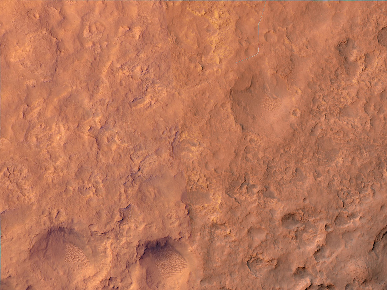
October 21, 2013
This map shows the route driven by NASA's Mars rover Curiosity through the 426 Martian day, or sol, of the rover's mission on Mars (October 18, 2013).
Numbering of the dots along the line indicate the sol number of each drive. North is up. From Sol 424 to Sol 426, Curiosity had driven a straight line distance of about 149.18 feet (45.47 meters).
The base image from the map is from the High Resolution Imaging Science Experiment Camera (HiRISE) in NASA's Mars Reconnaissance Orbiter.
