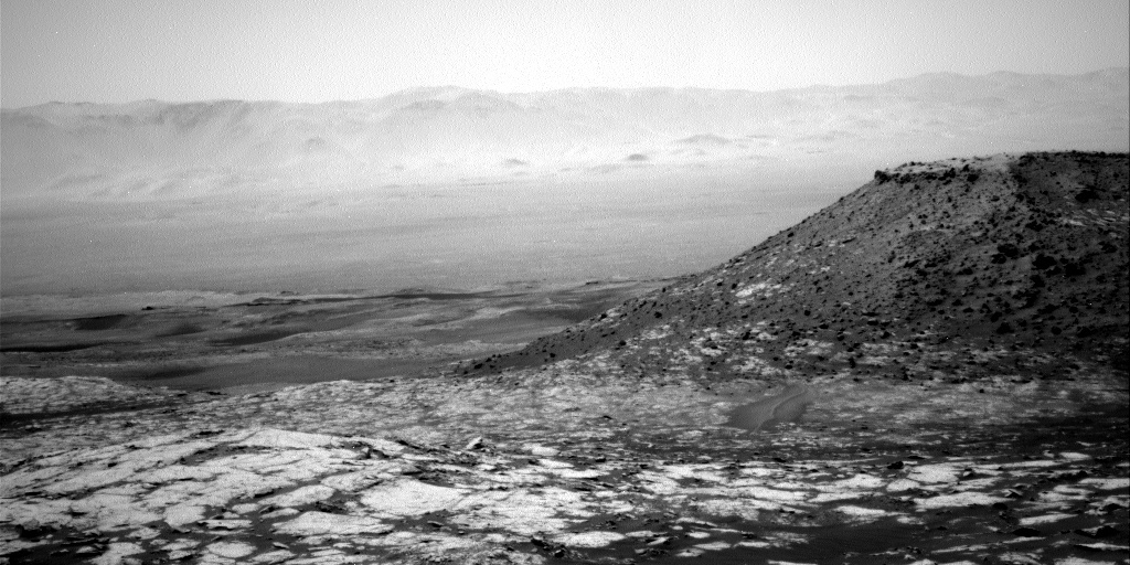
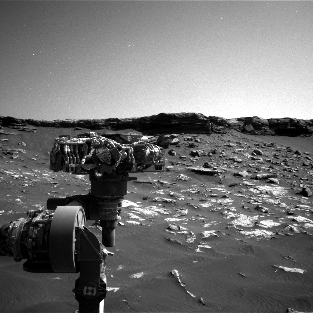
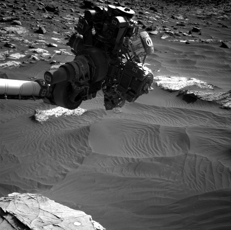
May 4, 2020
Sols 2754-2755: Giving ‘Glasgow' Another Try!
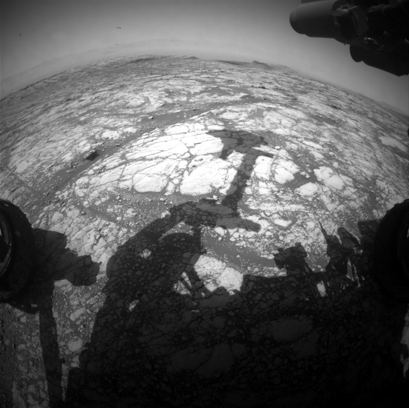
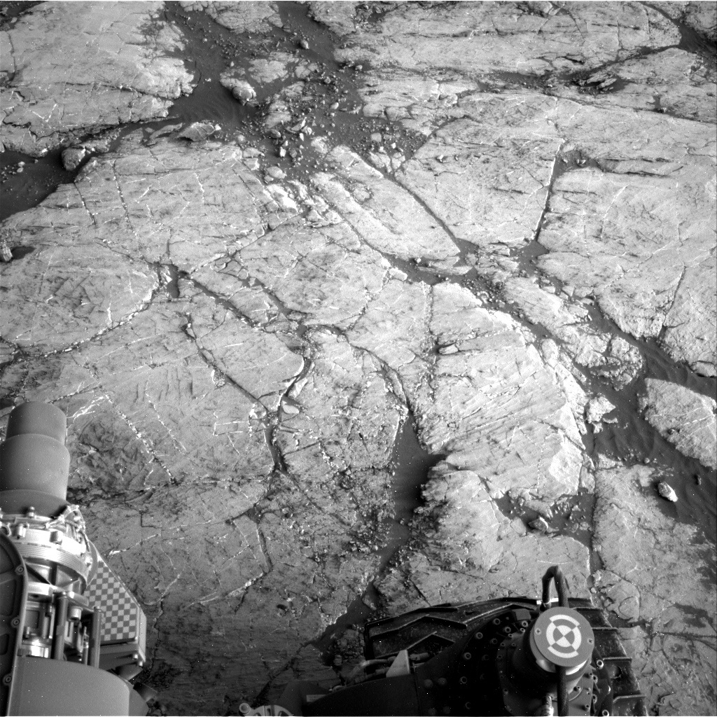
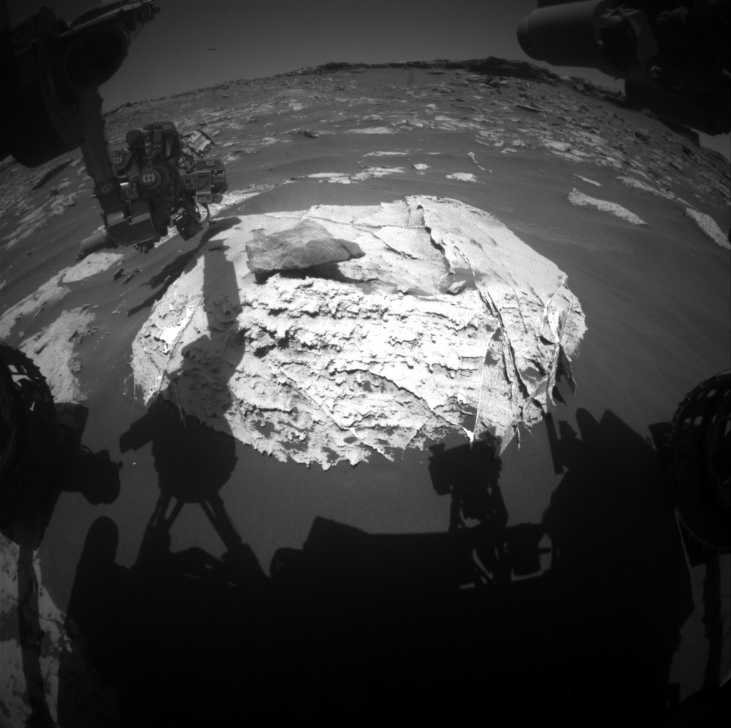
This image was taken by Front Hazard Avoidance Camera (Front Hazcam) onboard NASA's Mars rover Curiosity on Sol 2752. Credits: NASA/JPL-Caltech. Download image ›
I was the Science Operations Working Group (SOWG) Chair last Friday when we planned to drill at the “Glasgow” target, so I was eagerly anticipating the images that would show us a new drill hole. Unfortunately, there’s no new drill hole to be seen. A minor issue with the MAHLI instrument caused the arm activities to stop prior to drilling. Today’s plan is focused on planning the drill again. I love the above Hazcam image which shows the shadow of the arm extended over the intended drill location, as if to say, “we will get you Glasgow!”
The first sol of today’s two-sol plan is devoted to drilling, and the second sol is packed with remote sensing activities. On the first sol, the drilling activities are accompanied by MAHLI and Mastcam documentation images. On the second sol, the remote sensing activities start with a Navcam dust devil movie and dust devil survey, and Navcam line-of-sight observation to monitor dust in the atmosphere. Then Mastcam will take a multispectral observation of the drill hole, followed by a Mastcam mosaic of a trough feature to document surface processes. ChemCam has a number of activities including observations of the bedrock targets “Marygold” and “Murra,” an RMI z-stack observation of the drill hole to help with future targeting, and a ChemCam pointing test. Mastcam will also document the ChemCam targets. Fingers crossed for a good day on Mars to see those new drill hole images!