August 4, 2021
Sols 3199-3200: Kicking off (Earth) Year 10
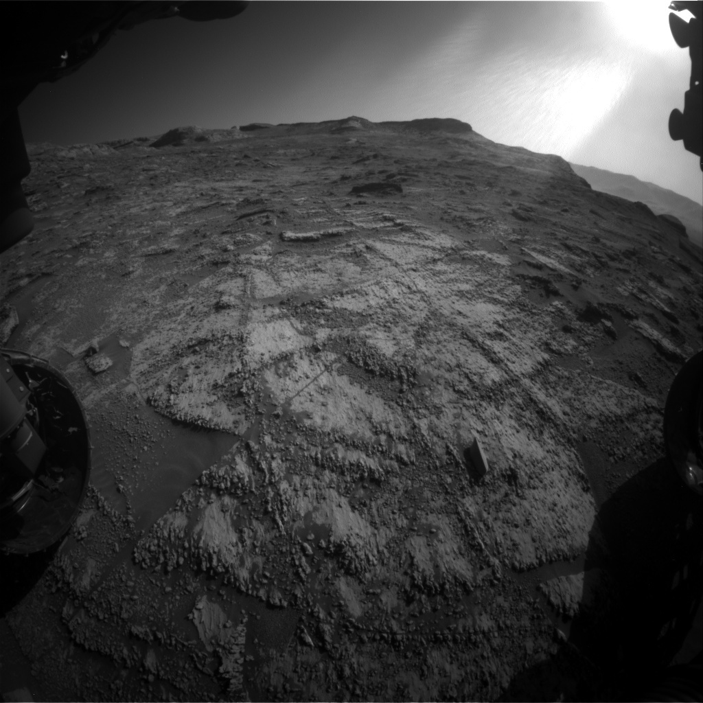
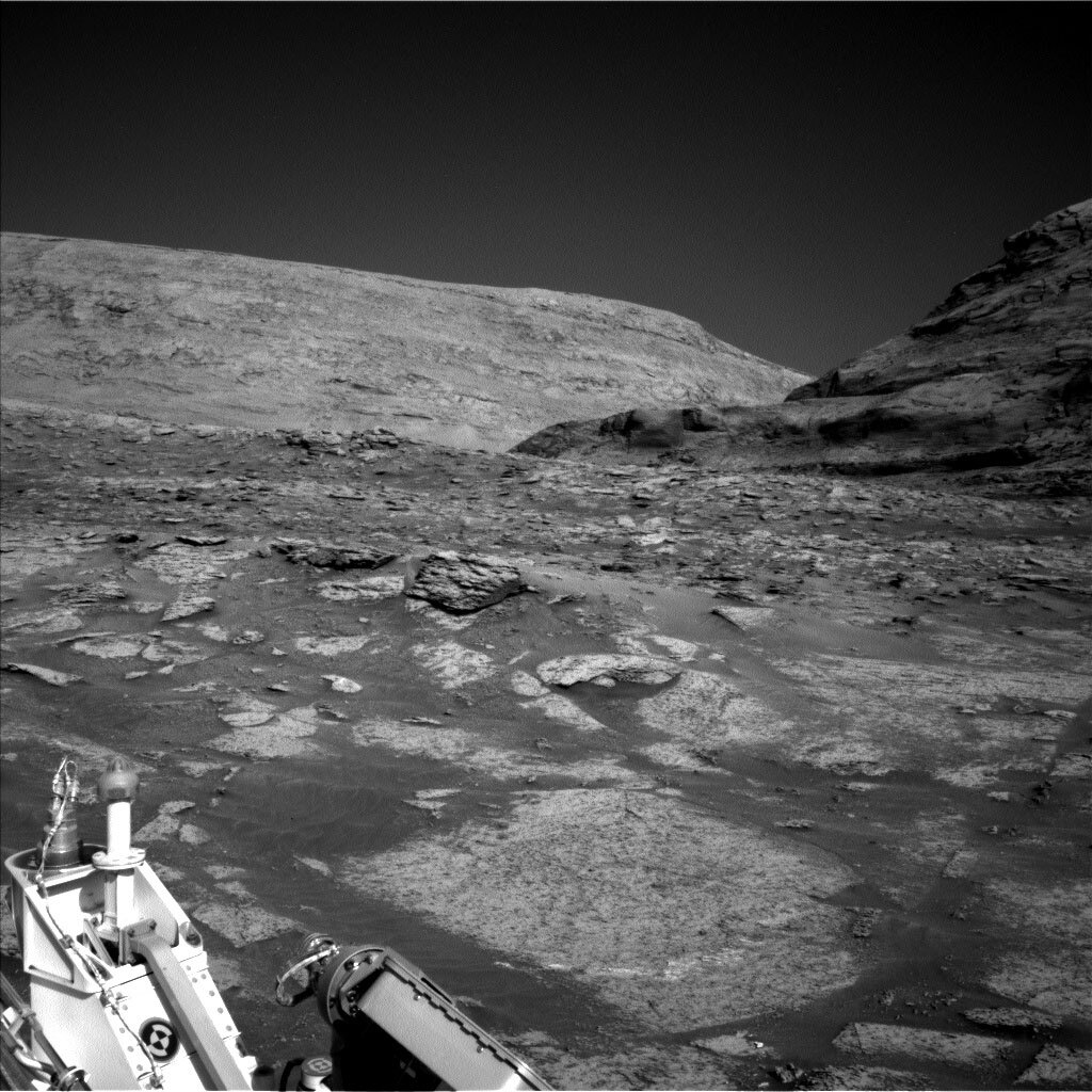
This image was taken by Front Hazard Avoidance Camera (Front Hazcam) onboard NASA's Mars rover Curiosity on Sol 3197. Credits: NASA/JPL-Caltech. Full image and caption ›
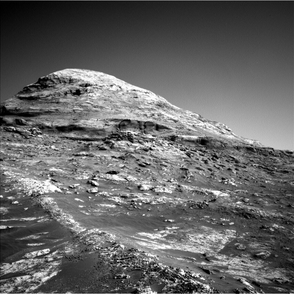
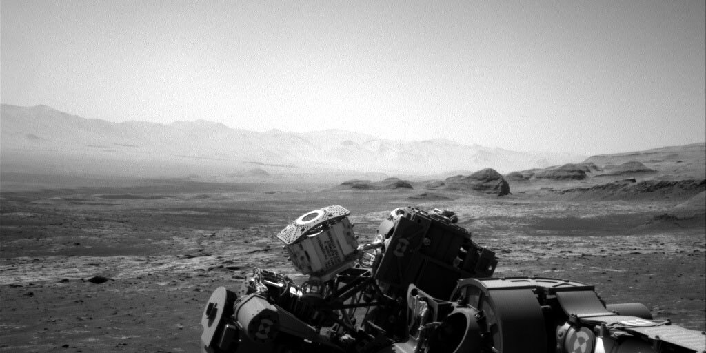
Project scientist Ashwin Vasavada pointed out a great fact at the beginning of planning today: At around 4 o’clock in the afternoon on Sol 3199 (the first sol in the plan we are creating today), Curiosity will begin its 10th Earth year on Mars. In the last nine years, the rover has traveled 26.3 km, climbed over 460 m in elevation, and collected 32 drilled samples of rock. It’s been a terrific journey so far, and it’s fun think back to those first images we saw on sol 0 of the mission. The terrain in our landing area was quite different than the rocks we’re examining now, and it’s amazing to think we’ve climbed so high on the flanks of Mt. Sharp, which loomed in the distance in that first Hazcam image!
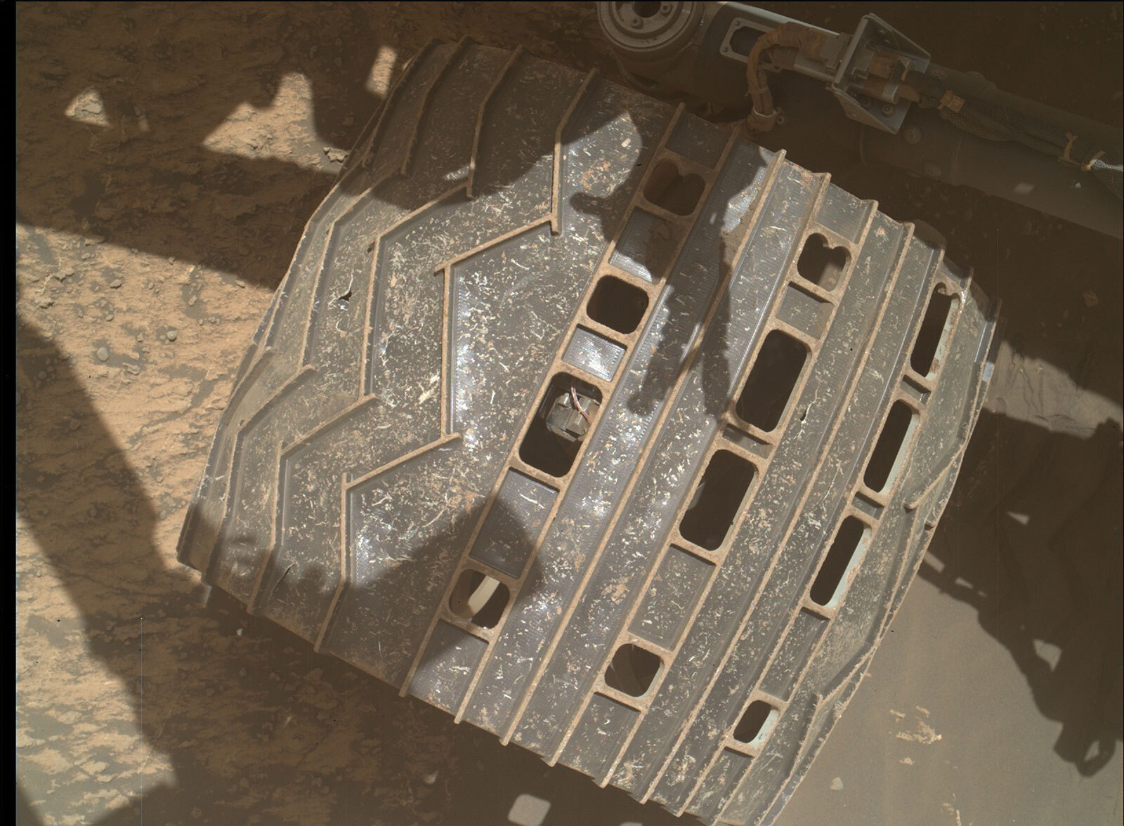
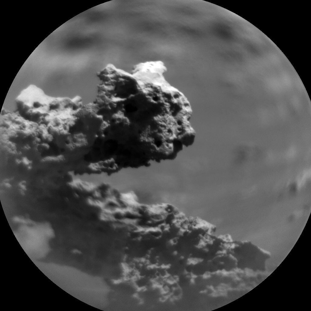
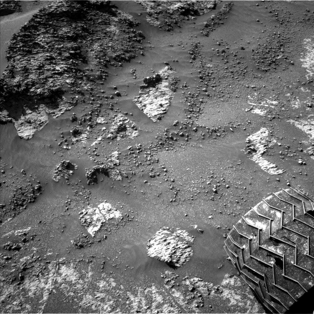
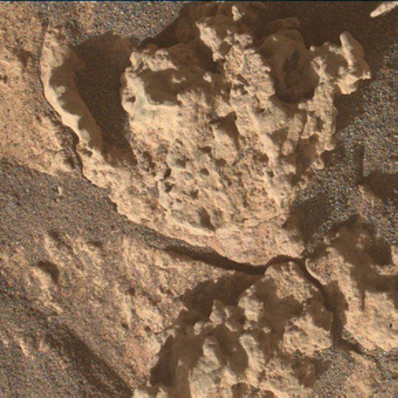
Curiosity will spend its ninth landiversary (landing anniversary) continuing to study the fascinating rocks in this transitional area. We will collect APXS and MAHLI data of a nodular target in front of the rover named “Gabillous,” and a ChemCam LIBS observation of another nodule named “Champs Romain.” Mastcam will peer off to the hills ahead, taking stereo mosaics to study their bedding geometry and a multispectral observation to document their spectral properties. After a morning of science, Curiosity will hit the road, driving ~14 m along our strategically planned route. This is an usually short drive for a day like today, and it’s because the terrain is so rocky that it’s hard to see too far beyond the rover’s current position. We don’t want to use too much autonomous driving in this rocky terrain and risk damaging the wheels. Despite the short drive, we should end up at a great looking outcrop and be prepared for more contact science this weekend, which we’ll plan on Friday.