January 29, 2018
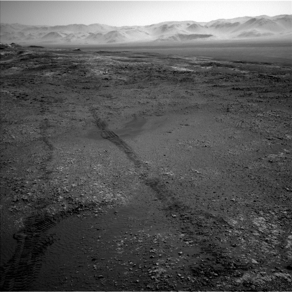
Sol 1950-1951: North by northeast
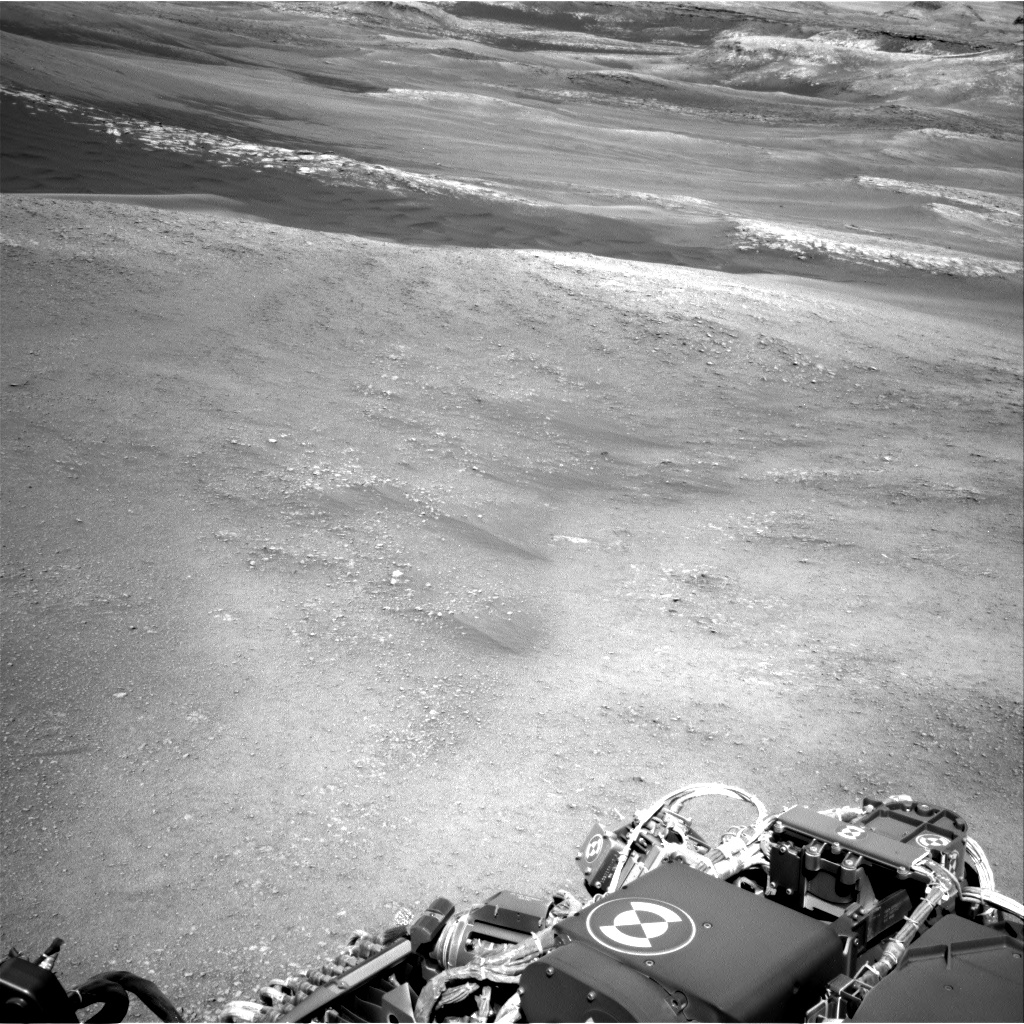
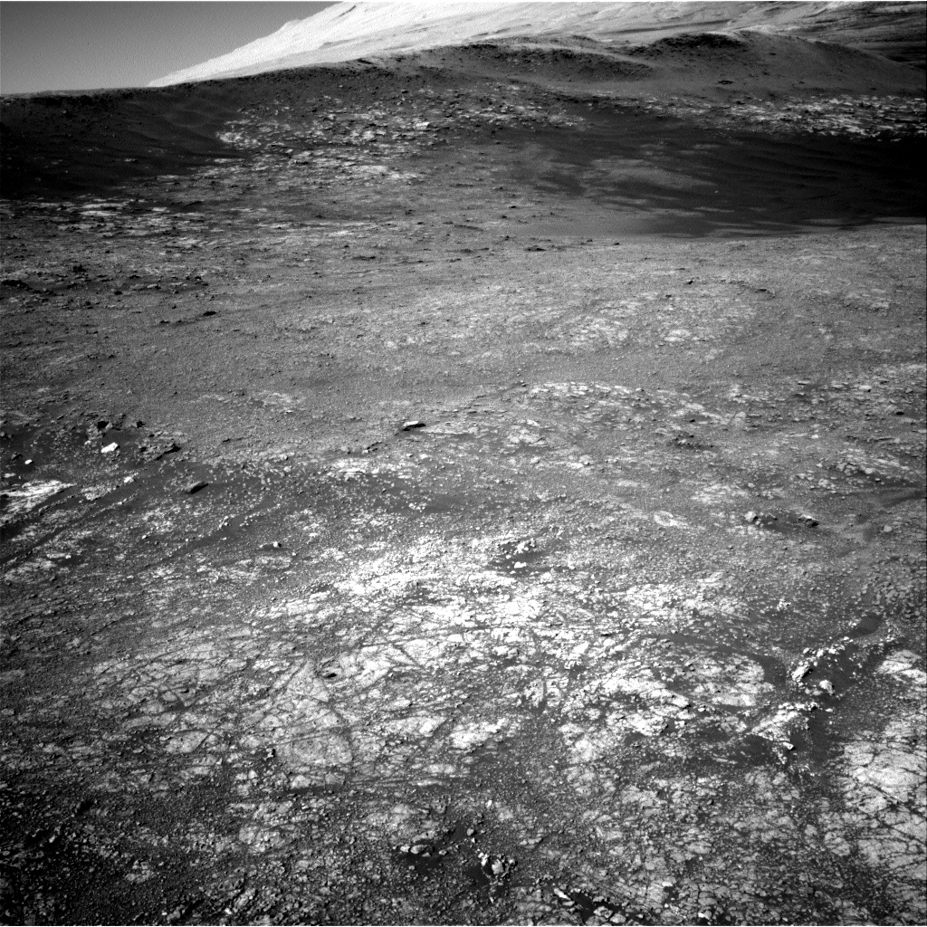
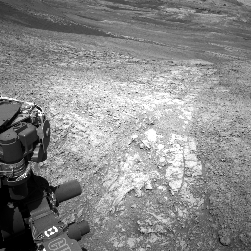
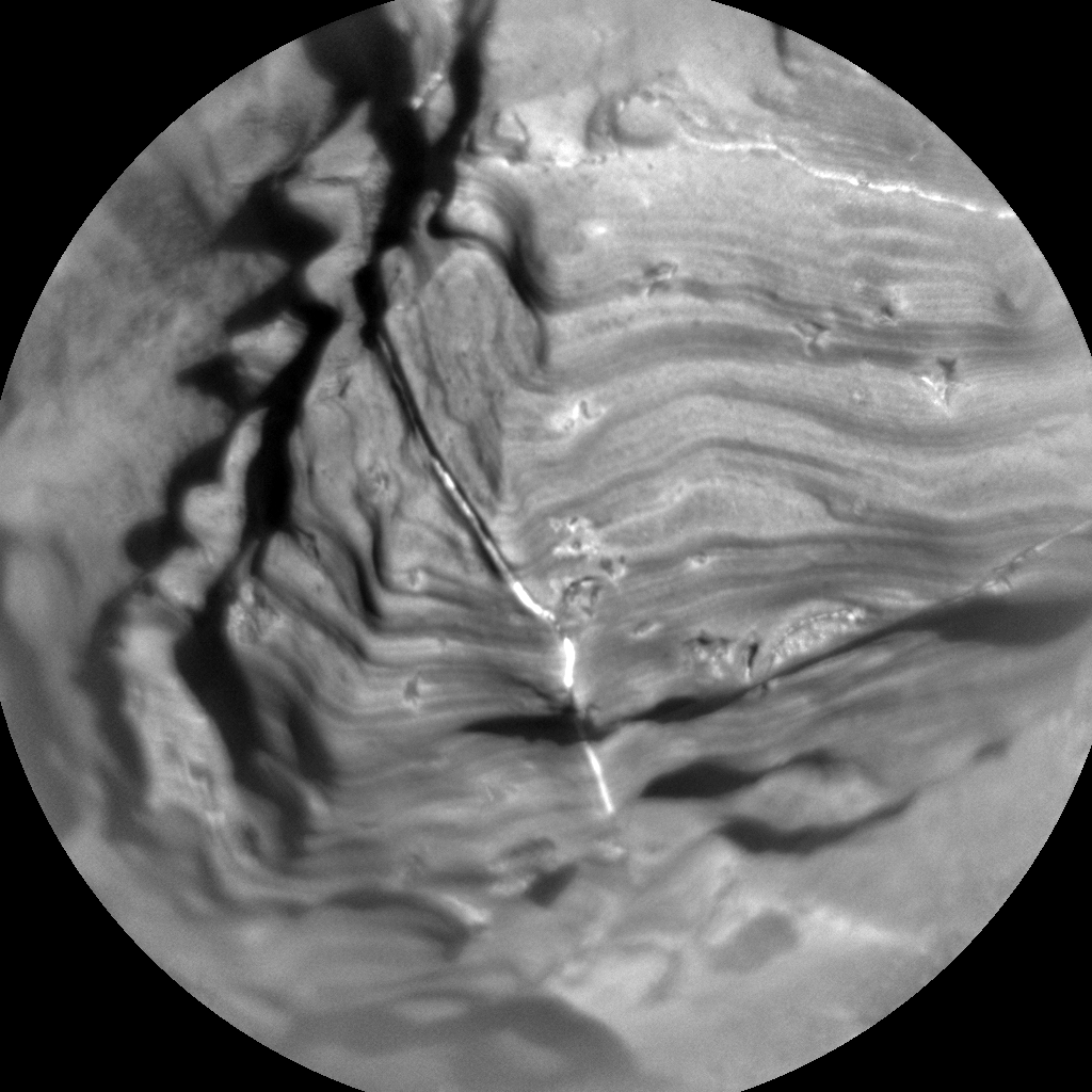
We are back on Vera Rubin Ridge today after a short diversion into the phyllosilicate unit. Our workspace this morning contained rocks in various shades of red. The remote sensing and contact science observations we planned today are designed to investigate the chemistry, spectral properties, and fine scale textures associated with these color changes.
We chose one contact science target, "Balmedie," that we will brush and observe with MAHLI and APXS. This rock was one of the only rocks in the workspace that was big enough to safely brush, and the observations we take will provide information about the properties of the bedrock in the area. We will also take a Mastcam multispectral observation of Balmedie and its surroundings. After the contact science block, we will collect ChemCam observations of bedrock targets that have different colors, "Killiecrankie" and "Bennachie," and an RMI mosaic of a distant target on Mt. Sharp named "Muchalls." Mastcam will document the two ChemCam laser targets, and we will also take a 7x2 stereo mosaic of a distant target "Harris Bay," which is a potential geologic contact. The first sol of the plan will end with a drive to the northeast. We will take a ChemCam automatically targeted AEGIS observation on the second sol of the plan, and some ChemCam calibration targets and a dust devil search.
In addition to the ongoing operations, this week is a particularly exciting because all of the Curiosity science team members are traveling to Pasadena for our bi-annual meeting. We will converse about the latest data and share our interpretations with one another. Team members are located all across the world, so it's wonderful to be able to meet face to face to discuss all of our recent results!