October 13, 2020
Sol 2911: Sitting on Pins and Needles, aka 'F5 – F5 – F5' in the Modern World
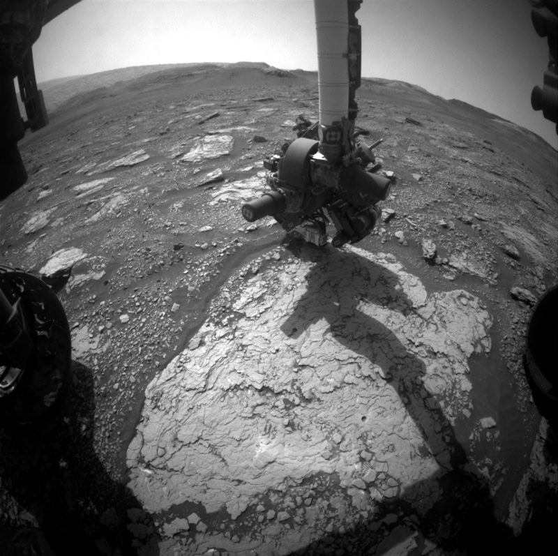
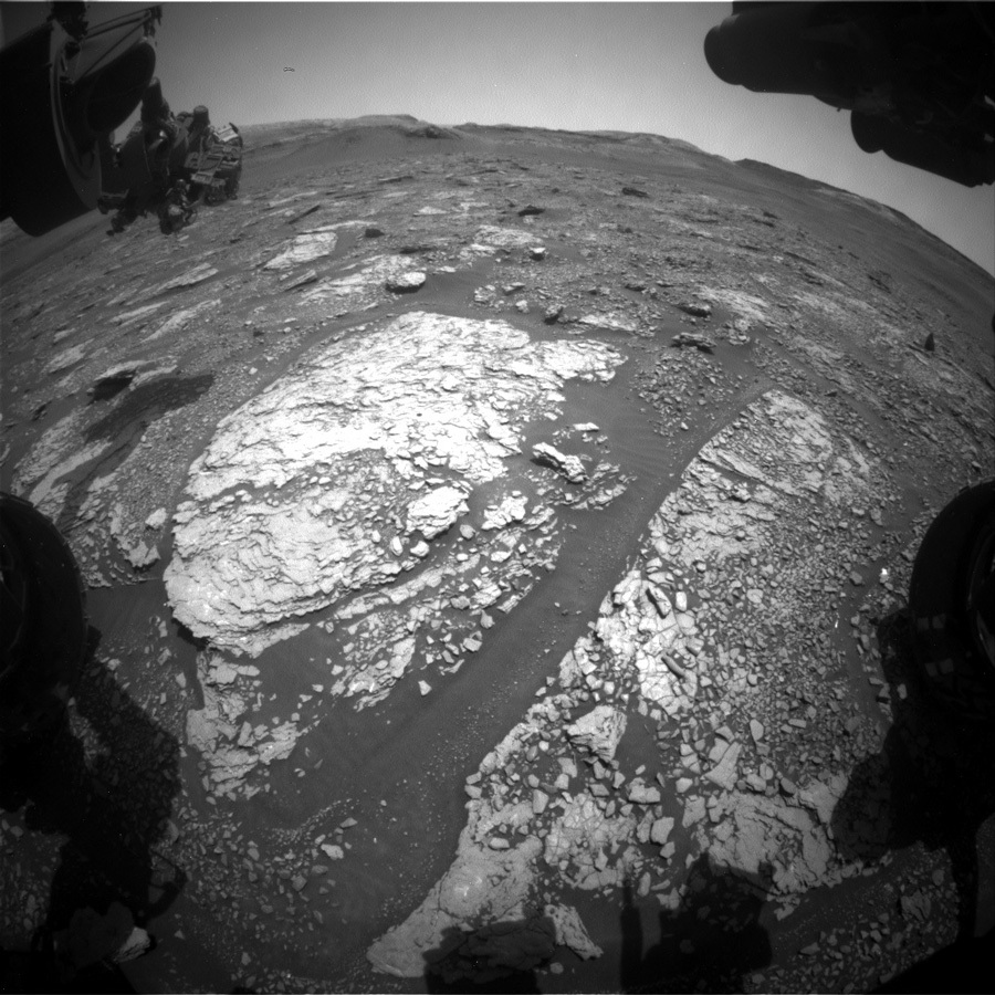
NASA's Mars rover Curiosity acquired this image using its Mars Hand Lens Imager (MAHLI), located on the turret at the end of the rover's robotic arm, on Sept. 22, 2020, Sol 2890 of the Mars Science Laboratory Mission, at 16:51:56 UTC. Credits: NASA/JPL-Caltech/MSSS. Download image ›
Yesterday, the engineers uplinked the commands that instruct Curiosity to drill the "Groken" target. But, to borrow my fellow blogger’s image of this drilling: WHO WON? Curiosity or the rock? Not that we have any reason to believe that it was the rock… However, we did learn on "Vera Rubin Ridge" that some of the rocks can look benign and perfectly soft, but then won’t be drillable at all. Remember that "Voyageurs" drill target? Here you can read up all about it: “As Hard as a Rock.”
So, the science team is sitting on pins and needles right now – and will be hitting "F5" to refresh their screens when time comes to expect the data. Do we have a drill hole? We’ll find out when it is well past my bedtime here (I am in the UK…), but I surely will check first thing tomorrow morning when I wake up!
In today’s planning, we were planning for success of Curiosity (of course we do!), and planned the post-drill activities as follows: Mastcam will investigate the drill tailings with a multispectral analysis, and ChemCam will look at them with a passive observation. That leaves time for other activities in the plan, one of which is another LIBS observation on the target “Catpund.” This is on the same piece of rock and close to the drill target Groken. Thus, it will give us additional insight into this special site. ENV, this being the dust devil season, plans another dust devil movie and assessment of the opacity of the atmosphere.
Now, do I have you hitting "F5" regularly? I sure hope so! Tomorrow’s blog will know the answer, whether Groken is releasing its secrets to Curiosity! Keep hitting that refresh button!